01 / NAMES MATTER
One bay. Separate developments.
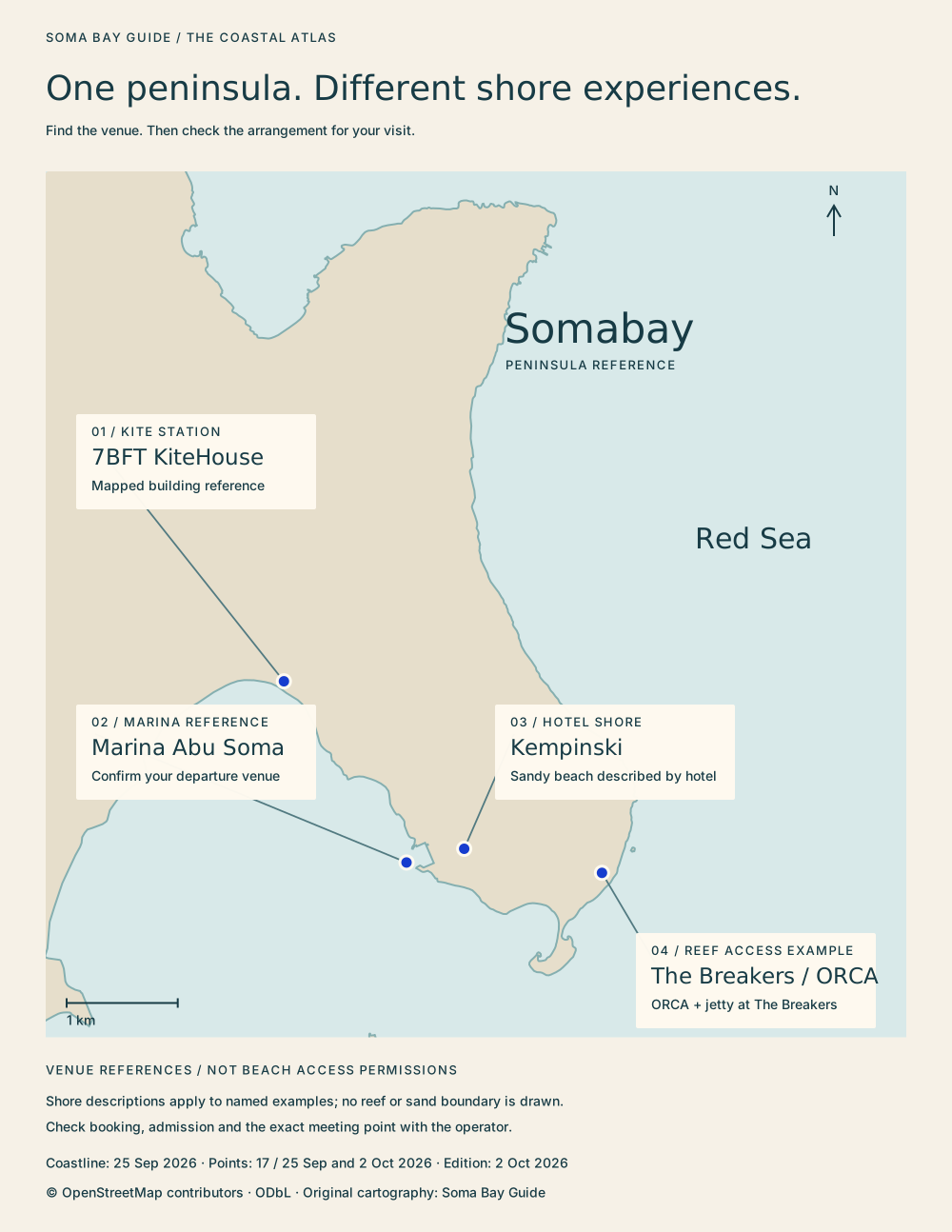
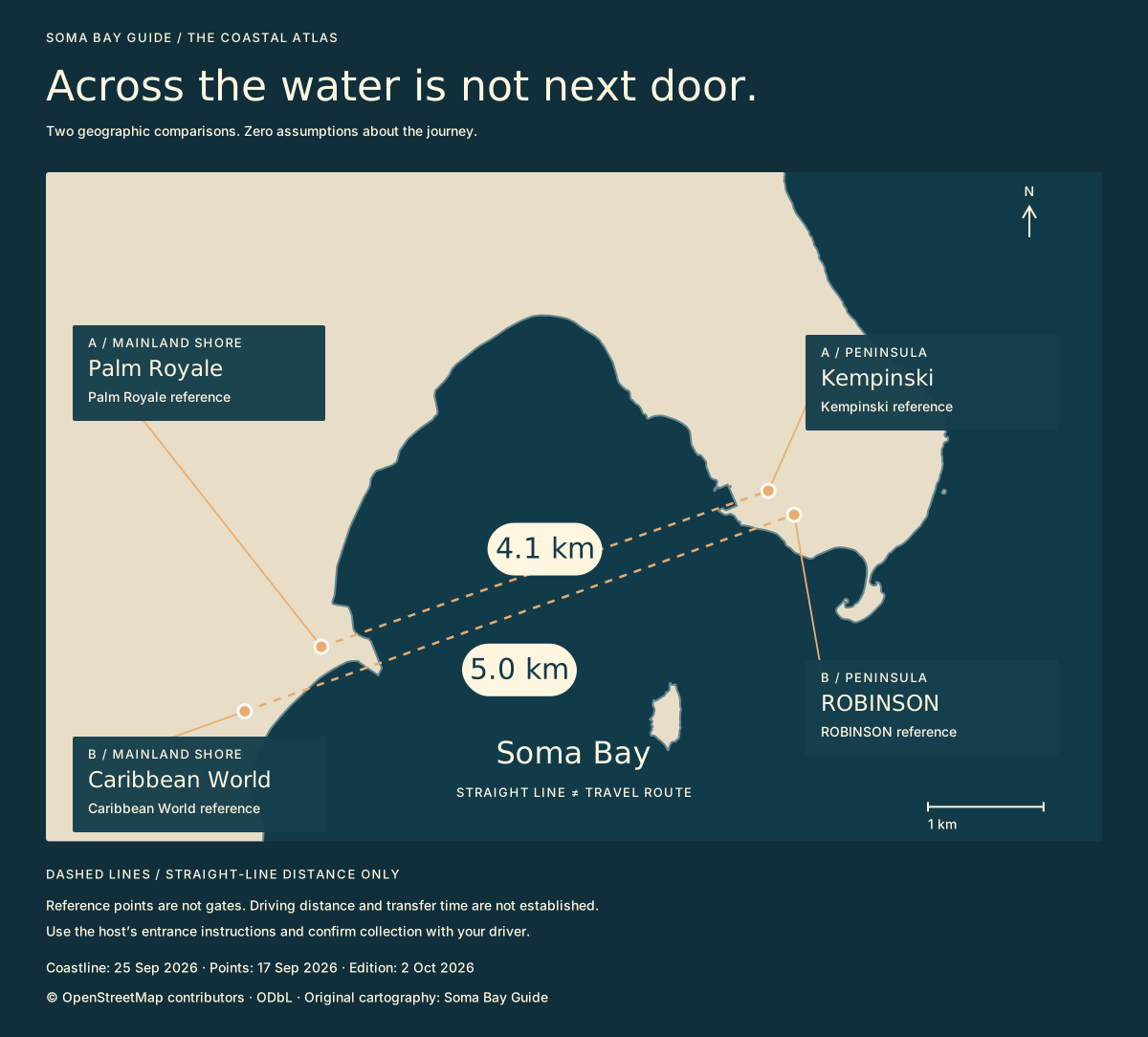
“Soma Bay” is often used as a wider-area address. Somabay is the branded destination around the peninsula; Almaza Bay Ras Soma is Travco’s separate development; Marassi Red Sea is Emaar Misr’s separate Red Sea project. Mainland-shore hotels are identified individually in this guide. The name on a booking matters more than the broad area on an advert.
For a visit, ask for the exact venue, the host’s arrival instructions and any gate arrangements. Being able to enter one development does not establish access to a neighbouring hotel, beach or facility.
See the local map →Project identities: Somabay · Travco · Emaar Misr. These sources do not establish complete surveyed boundaries.
02 / REGIONAL ORIENTATION
Read the coast from north to south.
El Gouna, Hurghada, Sahl Hasheesh, Makadi Bay, Sharm El Naga, Soma Bay and Safaga are separate places. Hurghada Airport is marked separately: a pickup at the airport is different from a pickup in the city. Use the regional map to understand the order, then use your host’s precise address to plan the journey.
The map’s scale describes geography. It does not tell you how long a taxi will take, where a driver can enter or whether a venue is open today.
Open the regional map →Map references and geographic data: OpenStreetMap-derived reference points · Source notes and dates.
03 / KNOWN AND UNKNOWN
Qatari Diar: a corridor, not a plot.
Reporting published on 22 September 2026 places the planned Red Sea development between Makadi Bay and Soma Bay, along the Hurghada–Safaga road. That gives us a broad stretch of coast. It does not give us the parcel’s corners, an entrance or a confirmed masterplan.
We therefore draw no Qatari Diar land boundary. Sentido Naga Bay, Sharm El Naga and the mapped military site are marked as separate existing sites. There is no verified allocation establishing that those sites are included in, or excluded from, the project. A coloured social-media shape cannot settle that question.
See the reported corridor and limits →Location report, 22 September 2026 (Arabic) · Qatari Diar’s Egypt page. Existing research reviewed 25 September 2026; exact boundary unavailable.
04 / READING MASTERPLANS
Plans above. Real ground below.
The satellite explorer places supplied masterplans over geographically positioned imagery. Switch to satellite only, then bring back one plan and lower its opacity. Compare coastlines and established landmarks before judging a proposed road, marina or neighbourhood.
A plan image is a proposal, and its registration here is approximate. Satellite imagery is a mosaic captured at different dates, rather than a live construction view. Neither layer alone proves delivery, ownership, an opening date or a homeowner’s beach rights.
Compare plans with satellite →Plan originals, registration notes and source dates · Esri World Imagery service.